The Cities

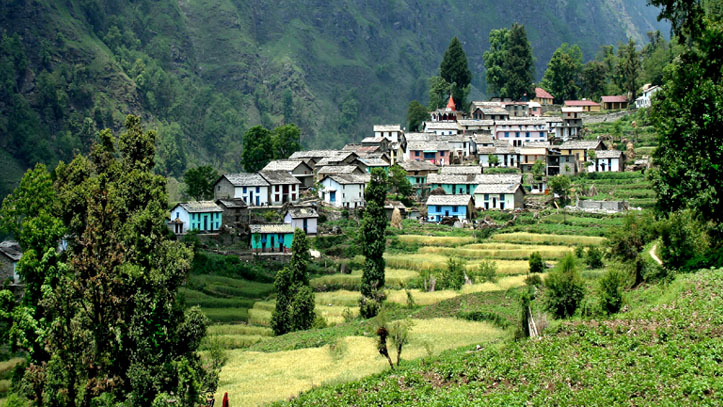
Devalgarh Pauri

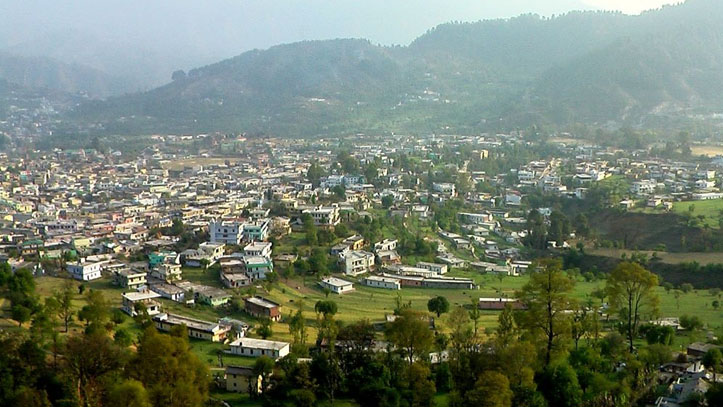
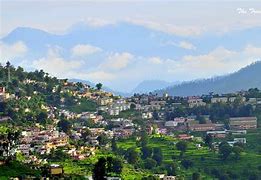
History of Devalgarh, Pauri. The hilly town of Devalgarh became popular when King Ajay Pal of Garhwal kingdom shifted his capital from Chandpur Garhi to Devalgarh. It remained the fledgling capital of Garhwal Kingdom from 1512-1517 before it was shifted to Srinagar. Even after that, the royal entourage used to spend their summer in Devalgarh and winters in Srinagar. Such was the mesmerizing beauty …
Pithoragarh

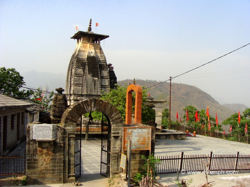
Pithoragarh is a Himalayan town with a Municipal Board in Pithoragarh district in the Indian state of Uttarakhand. It is the largest organised semi-urbanised to urbanised town in the hills of Uttarakhand.The town has all the facilities including an airport.

Lance down

Lansdowne is a hill station in the north Indian state of Uttarakhand. It was founded as a military garrison under the British Raj, and the Garhwali Museum traces the history of the Garhwal Rifles regiment, which still trains in the town. Close to colonial-era St. Mary’s Church, Tip-n-Top viewpoint is perched up on a ridge overlooking forested hills. Hindu devotees worship Shiva at the centuries-old Kaleshwar Temple.

Chamoli

Chamoli district is the largest district of Uttarakhand state of India. It is bounded by the Tibet region to the north, and by the Uttarakhand districts of Pithoragarh and Bageshwar to the east, Almora to the south, Pauri Garhwal to the southwest, Rudraprayag to the west, and Uttarkashi to the northwest. 

Bageshwar

Bageshwar is a town and a municipal board in Bageshwar district in the state of Uttarakhand, India. It is located at a distance of 470 km from the National Capital New Delhi and 332 km from the State Capital Dehradun. Bageshwar is known for its scenic environment, glaciers, rivers and temples.

Almora

Almora is a municipal board and a cantonment town in the state of Uttarakhand, India. It is the administrative headquarters of Almora district. Almora is located on a ridge at the southern edge of the Kumaon Hills of the Himalaya range, at a distance of 363 km (via NH9) from the national capital New Delhi and 415 km via Saharanpur Rd, 351 km via NH109 and 388.6 km via Ambala-… Read More »Almora

Dehradun

Dehradun , also rendered Dera Doon, is the winter capital and most populous city in the Indian state of Uttarakhand. It is the administrative headquarters of the eponymous district. Part of the Garhwal region, it lies along National Highway 7 with the distance of 236 kilometres (147 mi) north of India’s capital New Delhi and is served by Dehradun railway station and Jolly Grant Airport.

Haridwar

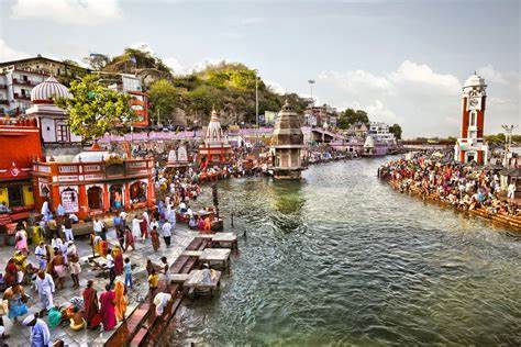
Haridwar also spelled Hardwar, is a city and municipal Corporation in the Haridwar district of Uttarakhand, India. With a population of 228,832 in 2011, it is the second largest city in the state and the largest in the district. The city is situated on the right bank of the Ganga river, at the foothills of the Shivalik ranges. Haridwar is regarded as a holy place for Hindus, hosting important religious… Read More »Haridwar

Mussoorie

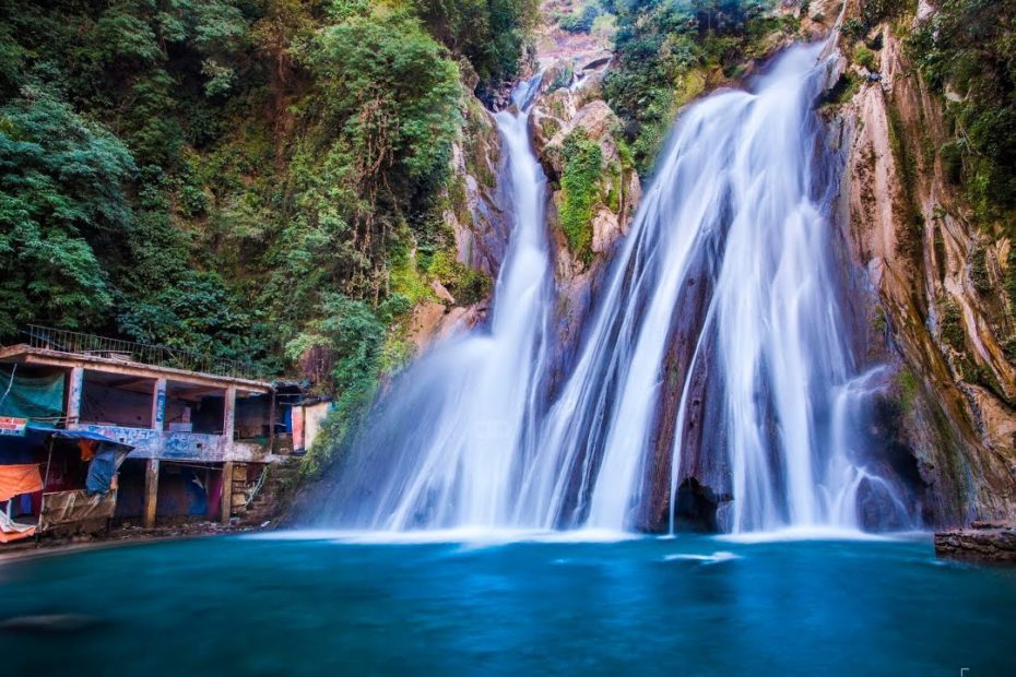
Mussoorie is a hill station and a municipal board in the Dehradun District of the Indian state of Uttarakhand. It is about 35 kilometres (22 mi) from the state capital of Dehradun and 290 km (180 mi) north of the national capital of New Delhi. The hill station is in the foothills of the Garhwal Himalayan range. The adjoining town of Landour, which includes a military cantonment, is considered part… Read More »Mussoorie

Ranikhet

Ranikhet is a hill station and cantonment town in Almora district in the Indian state of Uttarakhand. It is the home for the Military Hospital, Kumaon Regiment (KRC) and Naga Regiment and is maintained by the Indian Army. Ranikhet is at an altitude of 1,869 metres (6,132 ft) above sea level and within sight of the western peaks of the Himalayas. Ranikhet is a Class IV town with a civic… Read More »Ranikhet